
Search

Place/Date:
London / 1778 circa
Size:
12 x 8 inches
Condition:
VG
Stock#:
39682
Middleton's 1778 antique map showing Antique Polar Maps.

Place/Date:
Paris / 1758
Size:
14 x 8 inches
Condition:
VG+
Stock#:
43313
1758 antique Bellin map showing Antique Polar Maps.

Place/Date:
Paris / 1772
Size:
15 x 12 inches
Condition:
VG+
Stock#:
50181
Original map showing Antique Polar Maps by Diderot & de Vaugondy made in 1772.
Place/Date:
New York / 1855
Size:
13 x 16 inches
Condition:
VG+
Stock#:
74923
Place/Date:
Paris / 1757
Size:
9.5 x 6.5 inches
Condition:
VG
Stock#:
78901
Place/Date:
Chicago / 1907
Size:
10.5 x 13.5 inches
Condition:
VG+
Stock#:
86719
Place/Date:
Brussels / 1825
Size:
23 x 19.5 inches
Condition:
VG+
Stock#:
87865
Place/Date:
Brussels / 1827
Size:
22.5 x 19 inches
Condition:
VG+
Stock#:
88403
Place/Date:
New York / 1866
Size:
13 x 16 inches
Condition:
VG+
Stock#:
96312
Place/Date:
Edinburgh / 1856
Size:
15 x 21.8 inches
Condition:
VG+
Stock#:
97283

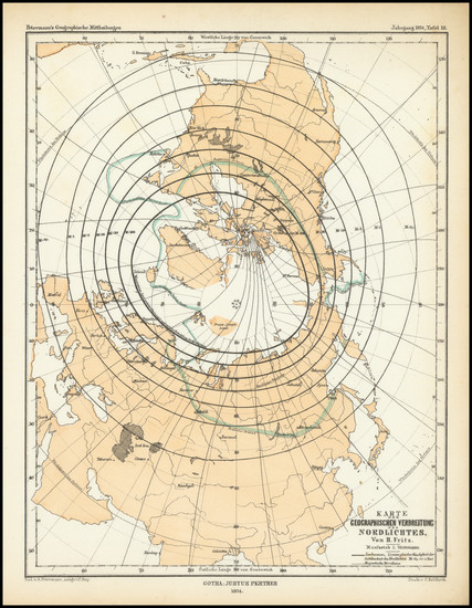
Place/Date:
Gotha, Germany / 1877
Size:
9.5 x 12.25 inches
Condition:
VG+
Stock#:
98474
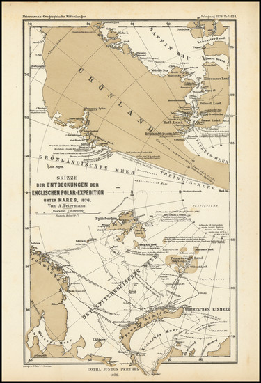
Place/Date:
Gotha / 1876
Size:
6.25 x 10.25 inches
Condition:
VG+
Stock#:
98482
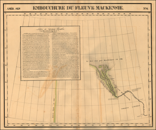
Place/Date:
Brussels / 1825
Size:
20 x 18 inches
Condition:
VG
Stock#:
19806
1825 antique Vandermaelen map showing Antique Polar Maps.
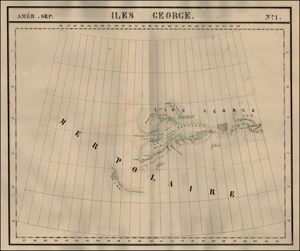
Place/Date:
Brussels / 1825
Size:
20 x 18 inches
Condition:
VG
Stock#:
19824
Vandermaelen's 1825 original map showing Antique Polar Maps.
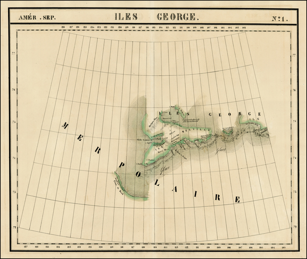
Place/Date:
Brussels / 1825
Size:
20 x 18 inches
Condition:
VG
Stock#:
1793RB
Vandermaelen's 1825 rare map showing Antique Polar Maps.
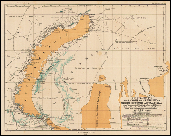
Place/Date:
Gotha / 1872
Size:
9.5 x 12.5 inches
Condition:
VG+
Stock#:
44734
1872 antique Petermann map showing Antique Polar Maps.
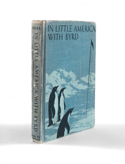
Place/Date:
Boston / 1937
Size:
6 x 8 inches
Condition:
VG
Stock#:
94002
Place/Date:
Gotha / 1874
Size:
7.5 x 9.75 inches
Condition:
VG+
Stock#:
98483